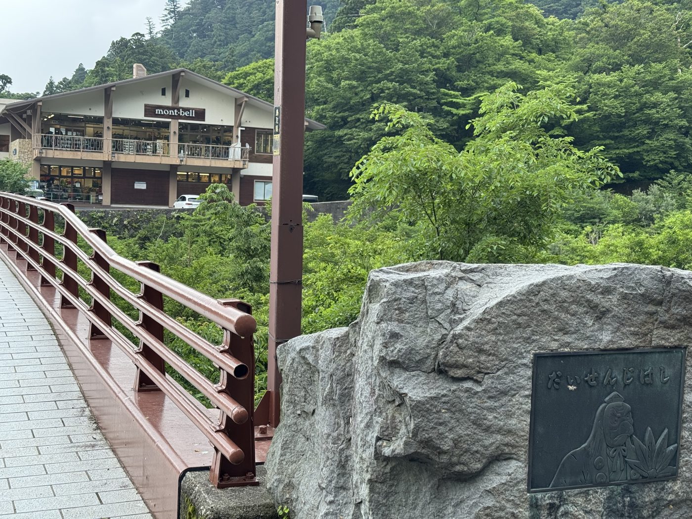
Mt. Daisen rises above western Tottori as the highest peak in the Chūgoku region. Its broad silhouette is visible from Hōki Town, and this is a record of a summer climb through mist, steep stairs, and a sea of clouds.
Reaching the trailhead
The walk begins in the Daisenji area. Cross the red-railed Daisen Bridge to reach the entrance to the Natsuyama trail, already about 780 meters above sea level.
Stairs and a steep ascent
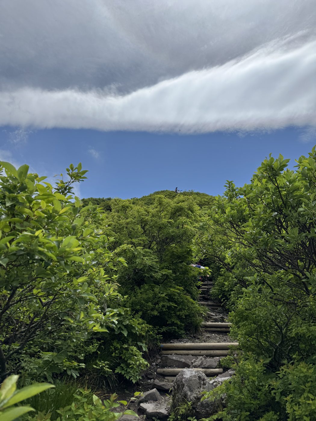
The route is a long succession of wooden steps and rocky ground. The gradient becomes demanding, so taking a steady pace and regular breaks matters.
Above the clouds
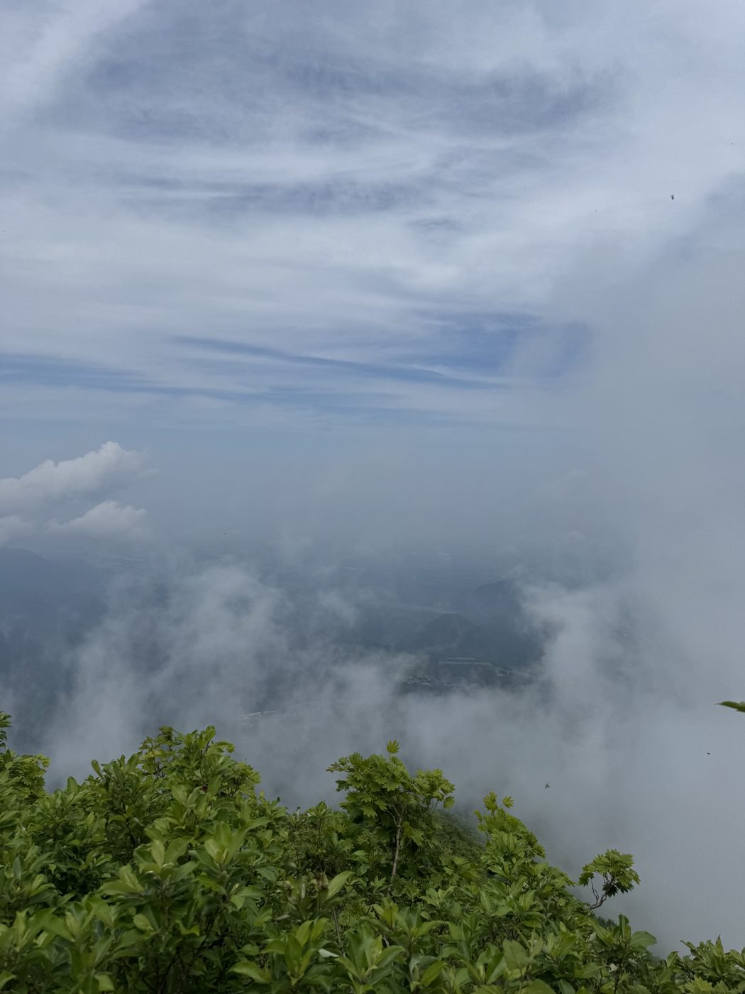
Above roughly 1,500 meters, the view suddenly opened onto a sea of clouds. The towns below had disappeared, leaving a landscape that only the climb could reveal.
Weather on Mt. Daisen changes quickly. Check the official trail and weather information, carry suitable equipment, and turn back when conditions demand it.